africa
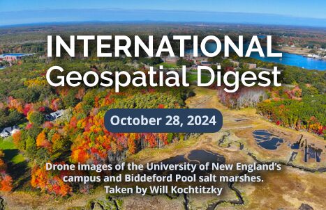
International Geospatial Digest for October 28th, 2024
1.) Tcarta advances coastal safety with satellite data 2.) Why there’s a rush of African Satellite Launches? 3.) Geospatial Tech…
International Geospatial Digest for Oct 14, 2024
Digital Twins: The EU’s Answer to Climate Change? Google Earth Brings WWII History to Life with New Imagery China’s Nuclear…
International Geospatial Digest for August 5, 2024
Geospatial Tech Empowers Governments for Resilience UNOSAT’s project “Strengthening Capacities in the Use of Geospatial Information for Improved Resilience in…
David Gachuche, the CEO of Rivercross Technologies honored with Diversity Leadership Award & Calgary White hat Ceremony
I’m pleased to share that on November 6th, 2023, at the Calgary GoGeomatics Expo, David Gachuche, the CEO of RiverCross…
International Geospatial Briefing for November 2nd: Scottish Geospatial Network Integrator; Tracking Banana diseases using aerial imagery; Lidar data for faster building engineering and architecture; China’s 31st launch of 2020
New support to grow Scottish geospatial sector Although Scotland location-based sector is thriving, Scottish Enterprise’s research has revealed that further…
Sustainable Development Technology Canada funds Ecopia Tech Corporation to map all of Sub-Saharan Africa
OTTAWA, Ont., August 22, 2019 – Today, Sustainable Development Technology Canada (SDTC) , announces a funding partnership with, Ecopia Tech…
Ottawa April 29th: Geospatial Career & Job Hunting Seminar
Saturday: April 29th – 9:15 AM Ottawa Library, Main Branch Basement Conference Room 120 Metcalfe, Ottawa, Ontario We will be…
COGS NSCC students use Geomatics to explore the history of Black Loyalists & Joggins Fossil Cliff
NSCC students make major impact in two small communities with huge historical significance Students at Nova Scotia Community College’s Centre…
GIS Open Source versioning tool for a multi-user Distributed Environment (part 2)
Cet article est aussi disponible en français. This article is the 2nd part of GIS Open Source versioning tool for a multi-user Distributed…
Outil de versionnement des données géographiques à code source ouvert pour des environnements multi-contributeurs (partie 2)
This article is also available in English. Cet article est la 2e partie de l’outil de versionnement des données géographiques à code…
Outil de versionnement des données géographiques à code source ouvert pour des environnements multi-contributeurs (partie 1)
Note des éditeurs : Cet article a été écrit conjointement par Nicolas Gignac, Dami Sonoiki (eHealth Africa) et Samuel Aiyeoribe (eHealth Africa). Ces auteurs…
GIS Open Source versioning tool for a multi-user Distributed Environment (part 1)
Editors note: This article has been jointly written by Nicolas Gignac, Dami Sonoiki (eHealth Africa) and Samuel Aiyeoribe (eHealth Africa). These authors…


