air photo
Local Action & Geomatics: the Gowgaia Institute on Haida Gwaii
This blog is a sequel to last month’s discussion on ‘think global, act local‘. It looks at the the Gowgaia…
Ottawa CCRS Speaker Series: The Halifax air photo mission of 1921 post-WW1 air surveys in Canada
Mr. Dirk Werle, Partner / Geoscientist, Ærde Environmental Research, Halifax Date: Friday, November 13, 2015 Time: 10:30 – 12:00 Location:…
PhotoSat verifies accuracy of DigitalGlobe’s 30 cm WorldView-3 satellite elevation data to within 15 cm
VANCOUVER – PhotoSat is pleased to announce that the elevation data processed from DigitalGlobe’s new 30 centimeter resolution satellite, WorldView-3, has…
NRCan Kicks off Geography Awareness Week
On Monday, November 17, GoGeomatics visited Natural Resources Canada for their kick-off to Geography Awareness Week 2014. Invitations were extended…
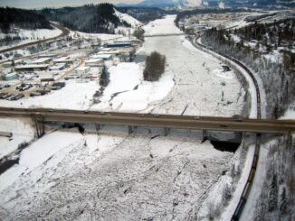
Prince George BC: Lidar / GPS Terrain Modelling for Ice Jam Emergency Response
Unprecedented ice jams led to extensive flooding in Prince George as temperatures dipped to record lows in the winter of…
Evaluation of the Data BC Portal, GIS Section
The province of British Columbia (B.C.) recently revised their portal. The main page offers a number of services to the…
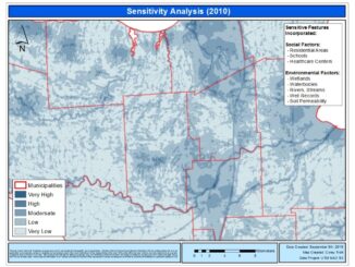
Landfill Assessment and Sensitivity Mapping Project
Project Task: Locate and collect information about open, closed, and historic landfills in order to create a 5 years inspection plan…
Darin Brooks: GIS Instructor, College of the North Atlantic
GoGeomatics: Welcome to the GoGeomatics Canada community. To get started can you tell us about where you are from and…
Measuring Tree Canopy Cover in an Urban Environment
To properly and effectively design and manage the city’s tree canopy it is important to quantify the amount and composition…
Dr. Robert ‘Bob’ Ryerson: A Canadian Geomatics Perspective on our Industry and Future
GoGeomatics has had the pleasure of speaking with Dr. Robert ‘Bob’ Ryerson of KIM Geomatics Corporation. Along with his…