Technology
Applications of 3D Digital Twins for Heritage and Archaeological Sites
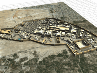
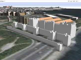
Digital Twins have many applications outside of the more well-known ones in the Internet of Things and Artificial Intelligence – including valuable applications for historic and archeological sites A digital twin. What is it exactly? […]