Brazil
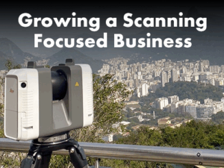
Growing a Scanning Focused Business
Founded at a time when laser scanning was just catching on in the region, and with new scanning systems launched,…
The Enduring Legacy of Carleton’s Geomatics and Cartography Research Centre
Like everywhere else, there has been a major transition from paper to digital. This transition has been a driver for…
UNESCO Designates 8 New Global Geoparks
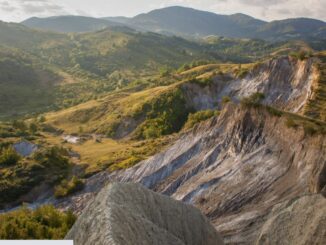
Paris, 13 April 2022 – UNESCO’s Executive Board has approved the designation of 8 new UNESCO Global Geoparks bringing the number…
Mineral Exploration in Brazil with AI… the story behind the Map
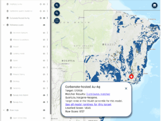
Since the days of the first Gold Rush, when a prospector would head off into the bush with a shovel,…
International Geospatial Briefing Jan 26th: Sentinel Hub Script Contest; Google AI powered Tree Canopy Lab; Lidar on the iPhone 12 Pro; 3D Laser Scan using SLAM and UAV; 5,500 public sector organizations’ access to local data
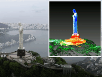
Sentinel Hub Custom Script Contest Sentinel Hub is a platform that everyone can explore earth observation data with a free…
Your International Geospatial Briefing for August 31st: Trimble and Totalmobile Awarded HS2; Everest survey succeeds; Underwater heat blob growing in the Arctic; China Launches Beidou; Amazonian Tribe Applies Location Intelligence
Trimble and Totalmobile Awarded HS2 Contract from Civil Engineering Contractor EKFB Trimble and Totalmobile have developed the first cloud-based vehicle…
Your International Geospatial Briefing for August 17th: NZ Government investment in agritech; AWS unveils new space business segment; Measure local parks using geospatial data; Amazon rainforest cleared in July in Brazil; ESAIL Maritime Sat ready for launch
Government to invest $11.4 million in agricultural technology The New Zealand government undertakes investment in developing the country’s agritech sector,…