Technology
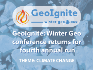
Moving the Climate Narrative Beyond the “doom and gloom” Keith Masback and Dr. Marshal Shepherd
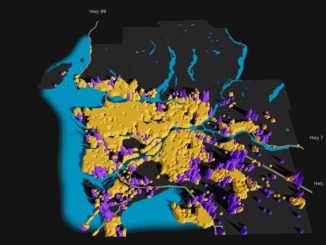
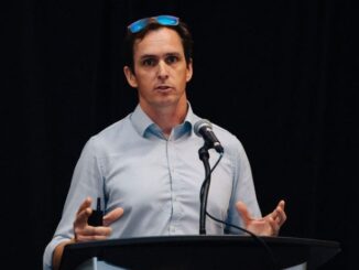
“Climate is science.” The way we discuss climate change is evolving. The GeoIgnite, Winter Geo Conference, was honoured to have a livestream with Keith Masback, Principal of Plum Run LLC, and Dr. Marshall Shepherd, the […]