BIM & GIS
Canada-wide Flood Protection Inventory: Natural Resources Canada is seeking interested bidders
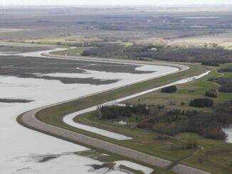
As Canada grapples with the rising costs and growing frequency of climate-driven disasters, the federal government has taken a decisive step to strengthen national flood resilience. A newly announced Request for Proposals (RFP) under the […]