Community
Canadian Geospatial Digest July 21, 2025
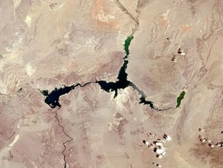
Navy Testing Explosive Drone Boat in First Proof of ‘New Operational Concept’ New Mapping Tool Supports Aquaculture Growth Esri Adds Indigenous Datasets in the New Living Atlas Nearly a Third of Forests in Northeast B.C. Could […]