code

The Future of GIS Software? QGIS A Popular Open-Source GIS for the Masses

In today’s geomatics society, ArcGIS, developed by Esri, is a giant and dominates the GIS software market. However, there are…

What are the Top Programming Languages in the GIS World?

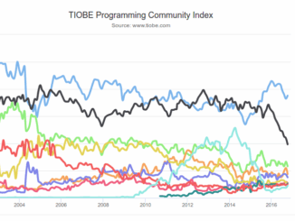
Image source: www.tiobe.com Every now and again we hear about the importance of programming for Geographic Information Systems(GIS) professionals, that…

Technical Writing Tips for GIS and Geomatics Professionals

  You might be a Manager, Consultant, GIS Specialist, Geomatics Engineer, Survey Analyst, Cartographer, Spatial Analyst, GIS Developer or Remote…

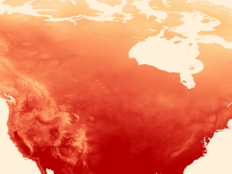
QGIS & WorldClim: Using Zonal Statistics to Map Temperature Patterns

There has never been a time in the history of GIS when so much free, high quality data has been…

GIS Health Studies: Conduct Spatial Exposure Assessments

Interested in how to conduct different types of spatial exposure assessments for air pollution or other exposures to a population? …

Postal Codes: Canada Post Backs Down on Crowdsourced Open Data

Have you ever felt the wrath of a Canadian Crown Corporation? In 2011 Canada Post set its sights on Ervin…

Thinking About Geomatics: How to Find the Right Device for Data Collection

Finding the right device for data collection I was at CNAM recently and a number of discussions reminded me of…

GIS Certification: Options and Discussion

There are many GIS and geomatics certification options available to Canadians.  They have been discussed in detail in previous articles. …

NetCDF: a growing standard for encoding georeferenced data in binary form

Recently, the Open Geospatial Consortium (OGC) has announced an extension to the OGC CF-netCDF 3.0 encoding standard that specifies how…

GIS Certification: The Canadian Institute of Geomatics Certification Program

One of the GIS Certifications available to Canadians specifically is the Certified Geomatics Specialist certification available from the Canadian Institute…

GIS Certification: ASPRS Certification

  One type of certification available for GIS and Geomatics professionals is the ASPRS Certification program available from the American…

Location Encoding Systems – Could geographic coordinates be replaced and at what cost?

Geocoding is the process of converting a street address into a physical location that can be described with a pair…