Education & Careers
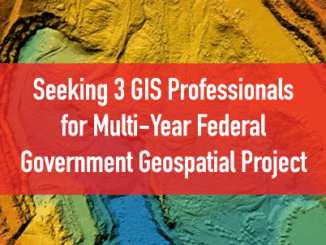
Seeking 3 GIS Professionals for Multi-Year Federal Government Geospatial Project
GoGeomatics is seeking 3 GIS and geospatial professionals to work on a contract with the Federal Government. The team will work to establish a web-based structure to automate publications of channel bottom conditions in the […]