crisis
Free Satellite Imagery For You: Sentinel 1 & 2
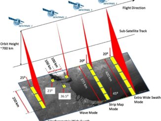
Sentinel constellations and data products As the ENVISAT program is coming to an end, the European Space Agency has begun…
Esri Canada Community Maps Program: Why more communities need to take advantage of this
The Community Maps Program (CMP) was introduced by Esri Canada in 2009 allowing organizations to share and host geographic data. …
Erosion of Geography in Canadian High Schools
Mount Allison University campus This weekend, I drove up to Mount Allison University situated in Sackville, New Brunswick, to participate…
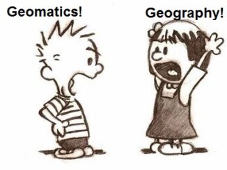
What is the Difference Between Geomatics and Geography?
There seems to be great confusion between these two great disciplines, especially noting that some geographers and schools claim that…
2005-2015: Ten Years with Google Maps
In February 2005, Google Maps was launched as a desktop web mapping service. A few months later, in June 2005,…
Satellite-Based Earth Observation Market Analysis – Trends and Forecast
Satellite-based Earth Observation (EO) is a process of using remote-sensing technique to gather information on the chemical, physical and biological…
10 Canadian Border Disputes that Shaped our Country
Canada is one of the wealthiest countries in the world, the second largest country based on land mass, and a…
Bridging the Gap Between GIS Job Seekers and Surveying Jobs in Canada
Many Canadian survey associations have been grappling with a declining membership and an increasing median age of survey professionals. There…
Evolving Education, Geography, Geomatics & going beyond “What is the Capital of?” in Canada
When I was in high school I developed an interest in geography as a field of study and perhaps a…
URISA – More Than Just Maps: Google Person Finder
I had the opportunity to attend URISA Ontario’s (Urban and Regional Information Systems Association) Be Spatial ’13 event held in…