fisheries

The Dark Vessel Detection (DVD) Program – MDA/DFO program takes aim at illegal fishing

Canada has always been a leader in the geospatial community, from Roger Tomlinson’s pioneering work creating the first computerized GIS…

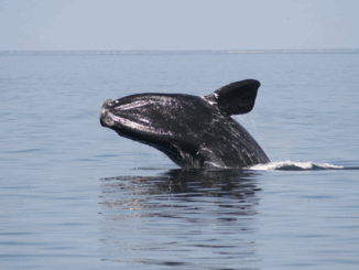
Geomatics Tools In The Protection and Conservation of North American Right Whales

Right Whale Biology + Conservation When speaking about declining populations in species, the words endangered, vulnerable and threatened often come…

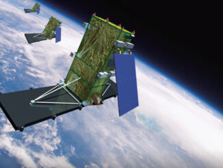
Successful launch of Canadian RADARSAT Constellation Mission

MDA, a Maxar Technologies company, announced that the three RADARSAT Constellation Mission (RCM) satellites developed by MDA for the Canadian…