forestry
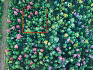
ESA Advanced Training: Earth Observation & AI for Forestry
The European Space Agency (ESA) is organising an Advanced Training Course on Land Remote Sensing with the focus on Earth Observation and Artificial…
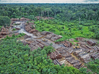
How Remote Sensing Applications Will Help Put a Price on Carbon
Quantifying our Resources Advances in remote sensing are pushing forward our abilities to quantify natural resources. As satellites improve, offering…
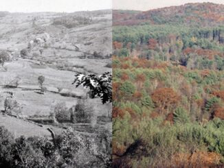
Sustainable Land Cover And Land Use Monitoring with Satellite Imagery
Canada has a population of more than 37.9 million and is growing at a steady pace. Faced with a growing…
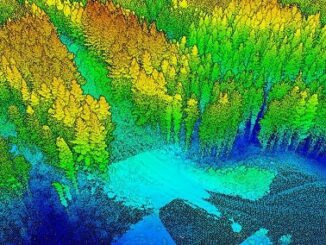
A Japanese Perspective: LiDAR forest data for resource analysis in Japan
The GIS & LiDAR Specialist I am Kei, a passionate GIS & LiDAR Specialist with over 6 years’ experience in…
Vancouver Geomatics Networking Event at UBC – March 2nd 2018
The Master of Geomatics for Environmental Management (MGEM) program is hosting a Geomatics Networking Event on Friday March 2 from…
May 16: Thunder Bay GoGeomatics Speaker: Rob Rempel – Research Scientist MNRF
You are cordially invited to our fun free event geomatics networking event on May 16th. Tuesday, May 16, 2017 –…
New GoGeomatics Group in Thunder Bay, Ontario
GoGeomatics is excited to introduce the Thunder Bay GoGeomatics group as the newest grass roots effort by local geospatial professionals,…
UBC Unveils New Masters of Geomatics for Environmental Management
The UBC Faculty of Forestry is excited to announce that the official approval of the Master of Geomatics for Environmental Management…
Predicting the Future of the GIS in Canada
Editors note: This article has been jointly written by Bruce McCormack and Gordon Plunkett. Bios can be found at the…
Altus Geomatics’ Contributions to Fallsview Construction Helped to Create World-Class Canadian Casino
When construction began on Niagara Fallsview Casino Resort in 2001, the spectacular natural surroundings belied a particularly difficult problem for…
LiDAR in Canada: Conversation with Dr. Chris Hopkinson Research Chair Remote Sensing University of Lethbridge
The author Bob Maher (BM) and Chris Hopkinson (CH) both worked as scientists at the Appied Geomatics Reearch Group (AGRG)…
MDA signs contracts for RADARSAT-2 information
Richmond, BC – MacDonald, Dettwiler and Associates Ltd. (“MDA” or the “Company”) (TSX: MDA), a global communications and information company,…