Game
International Geospatial Briefing for Sept 28: Chinese launch failure; HERE Data access; Free Aerial Imagery basemap of New Zealand; SpaceX internet 700 satellites; GIS is powering solutions; Teaching disaster management through GIS games
China’s launch of new satellite fails Jilin-1 Gaofen 02C, the new Chinese satellite failed to enter the preset orbit on…
Google Earth Engine – What is a Data Cube and Why Canadians Should Care
What is a data cube and how is it used for big data analytics? How does a data cube work…
A List of Geospatial Open Data Resources in Canada
Recently, I read an article about the Canadian Geospatial Data Infrastructure (CGDI) that seeks to explain why the CGDI, among many…
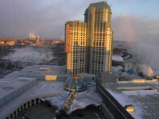
Altus Geomatics’ Contributions to Fallsview Construction Helped to Create World-Class Canadian Casino
When construction began on Niagara Fallsview Casino Resort in 2001, the spectacular natural surroundings belied a particularly difficult problem for…
Technical Writing Tips for GIS and Geomatics Professionals
You might be a Manager, Consultant, GIS Specialist, Geomatics Engineer, Survey Analyst, Cartographer, Spatial Analyst, GIS Developer or Remote…
DigitalGlobe’s Basemap Suite Expands: 250 Million Square Kilometers of 30 cm Imagery
DigitalGlobe, Inc. (NYSE: DGI), the global leader in Earth imagery and information about our changing planet, today announced that its…
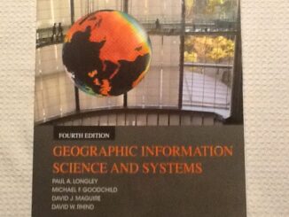
50 Years a Geographer: My Top Ten books about Geography
In celebration of Geography Week, it seemed like a good idea to issue a challenge: list the top ten books…
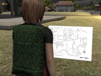
How Pokémon Go can encourage a love of outdoors … and family …
In a prior piece, Jonathan Murphy pointed out that fun and geospatial awareness can go together through a game. I…
The Most Fun You’ve had with Geomatics: ‘Pokémon Go’ Comes to Canada
The geospatial community has been “abuzz” since a game called called “Pokémon Go” landed on cell phones in Australia and…
Esri Technical Associate Certification: how I passed the test
A few months ago, I decided to obtain the Esri Associate certification for ArcGIS Desktop and wrote about my reasoning here. …
Elephants, Tigers and Bears: Edmonton January Social
Elephants and Tigers and Bears! Oh My. Flying Monkeys! Seriously. Come out to the Edmonton January Social January 21 at…
Presagis Showcases New Modeling and Simulation Software Suite at I/ITSEC 2015
Unmanned Aerial Systems Border Surveillance demo reveals the realism, power and versatility of Presagis’ M&S Suite 15 MONTREAL, CANADA–(Marketwired –…