||||||
Technology

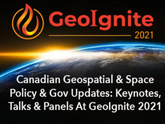
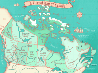
Canadian Geospatial Briefing April 12th: GeoIgnite 2021 Keynotes, Talks, & Panels; Mapping project illuminating links between environment & racism; Remote sensing of agriculture to spot disease risk; Interactive map of Dinosaur Fossils in Canada; A literal map of Canada

Canadian Geomatics & Space Policy & Gov Updates: GeoIgnite Keynotes, Talks, & Panels This year’s GeoIgnite conference will feature many exciting and informative talks in the area of Geospatial and Space Policy. The conference will […]

|||||
Technology

Canadian Geospatial Briefing March 1st – AI helping response to extreme weather; Inukshuk Geomatics celebrating 20 years; Telesat basing Lightspeed broadband operations in Gatineau; CATALYST Microservices – cloud-based earth observation processing; Canadian Coast Guard testing new UAV; GeoIgnite Career Fair April 14th

Artificial Intelligence helping respond to extreme weather events Researchers at the University of McGill are finding new ways to harvest data from Twitter to respond to natural disasters and other extreme weather events. They have […]

zero-carbon||
Technology

Canadian Geospatial briefing for 21st December: 2050 Carbon Targets; 2021 Esri Canada Map Calendar; Open-source building height estimation; Nova Scotia map for property taxes; GeoIgnite 2021!

GeoIgnite 2021: One Month, Three Great Events! We are already excited about the upcoming events for GeoIgnite 2021! More details to follow in our upcoming posts. First Event – April 14th: GeoIgnite Career Fair & Diversity Leadership Second […]