GITA

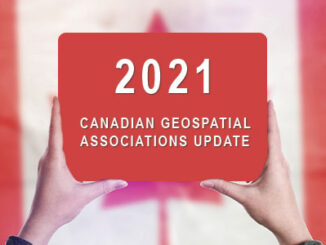
Canadian Geospatial & Geographic Associations Update 2021

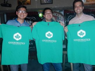
Networking is incredibly valuable in today’s working world. In any industry, who you know and what you’re a part of…

Our Biggest Events Ever Across Canada with 500 Participants & 20 Sponsors: 5th Annual 2018 GoGeomatics Canada Back to School Socials

The 5th annual 2018 Back to School GoGeomatics socials were a huge hit with students and professionals. We hosted events…

GoGeomatics Thanks our Gold & Silver Sponsors for our 15 Canada-wide 2018 Back to School GoGeomatics Socials

The GoGeomatics Meetups and Back to School Socials couldn’t be the events that they are without the help of our…

Google Earth Engine – What is a Data Cube and Why Canadians Should Care

What is a data cube and how is it used for big data analytics?  How does a data cube work…

UAV Surveys – How to Ensure Accuracy and Precision

For the past four years, I’ve been involved with the capture and delivery of data derived from drones. My experience…

CANMAP, and SHIFTing gears at COGS

At the end of last month, John Wian hosted the Annual General Meeting (AGM) of the CANMAP Research Institute in…

My COGS GIS Education, Part II

In my first article, I introduced the how and why I chose to attend COGS from the fall of 2014…

EnerGIS 2017: Call for Papers & Scholarship Opportunities

EnerGIS 2017 6/5/2017 to 6/6/2017 Suburban Pittsburgh, Pennsylvania. Join us for our 5th annual conference June 5th and 6th  2017!…

GIS Open Source versioning tool for a multi-user Distributed Environment (part 1)

Editors note: This article has been jointly written by Nicolas Gignac, Dami Sonoiki (eHealth Africa) and Samuel Aiyeoribe (eHealth Africa). These authors…

Remote Sensing QGIS: Semi-Automatic-Classification Plugin (SCP)

Semi-Automatic Classification Plugin   Today I’m going to take a quick look at one of the remote sensing plugins for…

GIS in Action: How Does BC Pinot Noir Express Terroir?

Editors note: In this previously published article, Karl Kliparchuk, BCIT GIS Program Head & Instructor uses GIS to explore the…

MDA to Acquire DigitalGlobe, Creating Industry Leader in End-to-End Space Systems, Earth Imagery and Geospatial Solutions

San Francisco and Westminster, Colo. – MacDonald, Dettwiler and Associates Ltd., a global communications and information company providing technology solutions…

1 2 3 16