Government
CANMAP, and SHIFTing gears at COGS
At the end of last month, John Wian hosted the Annual General Meeting (AGM) of the CANMAP Research Institute in…
The Open Geospatial Consortium (OGC): proposed GeoRSS Community Standard
The Open Geospatial Consortium (OGC®) is requesting public comment on the proposed GeoRSS Community Standard. First available in 2006, GeoRSS…
New GoGeomatics Group in Thunder Bay, Ontario
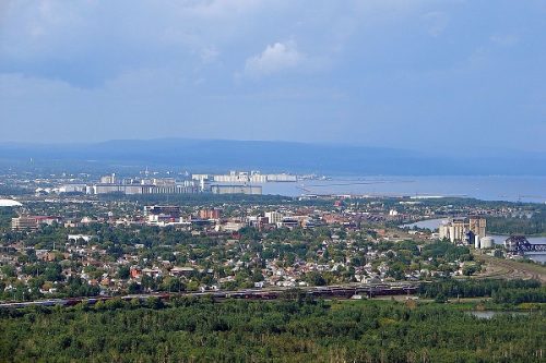
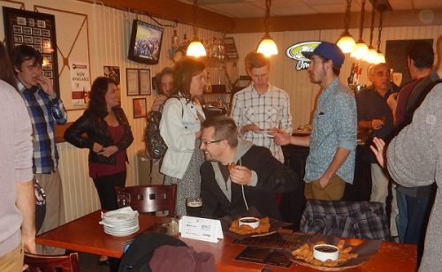
GoGeomatics is excited to introduce the Thunder Bay GoGeomatics group as the newest grass roots effort by local geospatial professionals,…
My COGS GIS Education, Part II
In my first article, I introduced the how and why I chose to attend COGS from the fall of 2014…
GIS Open Source versioning tool for a multi-user Distributed Environment (part 2)
Cet article est aussi disponible en français. This article is the 2nd part of GIS Open Source versioning tool for a multi-user Distributed…
March 2017 GoGeomatics Talks: Toronto, London, Peterborough, Halifax
GoGeomatics Canada has built a thriving geospatial community by creating networking opportunities for our participants. We achieve this by holding free informal…
URISA BC: Vancouver Call for Presentations on GIS Trends in Community Engagement
Call for Presentations Following the success of our December event, the URISA BC Executive Team is busy planning our next…
Toronto & Calgary: Federal Floodplain Mapping Workshop March 28th & 30th
The Federal Floodplain Mapping Guidelines workshop, hosted by Canadian Water Resources Association (CWRA) on behalf of the Government of Canada,…
MDA to Acquire DigitalGlobe, Creating Industry Leader in End-to-End Space Systems, Earth Imagery and Geospatial Solutions
San Francisco and Westminster, Colo. – MacDonald, Dettwiler and Associates Ltd., a global communications and information company providing technology solutions…
Top Ten Climate Change Maps and GIS Applications
Awareness for climate change has been steadily increasing ever since the Green Revolution in the 1960s. There is a plethora…
GNOSIS – A New Geomatics Software Suite
Creating a new GIS from scratch is a tough undertaking. It involves a lot of innovation. Ecere, a Canadian company…
Event Recap: COGS & CIG & GANS Cooperate for Mapping Workshop
The Canadian Institute of Geomatics (CIG) Nova Scotia Branch and the Geomatics Association of Nova Scotia (GANS), two regional professional organizations that foster the application of geographic information within the geomatics sector recently collaborated to host a high resolution mapping workshop at the Centre of Geographic Sciences (COGS) in Lawrencetown, Nova Scotia.


