grid

GNOSIS – A New Geomatics Software Suite

Creating a new GIS from scratch is a tough undertaking. It involves a lot of innovation. Ecere, a Canadian company…

Canadian Geomatics Innovation: Ecere Develops a Next Generation GIS

Not many companies undertake the ambitious goal of creating a new geospatial software suite from scratch. Ecere, a Canadian company…

Predicting the Future of the GIS in Canada

Editors note: This article has been jointly written by Bruce McCormack and Gordon Plunkett. Bios can be found at the…

what3words adopted by six national mapping agencies

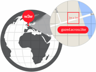
what3words, the multi-award winning location reference system, has today announced that six national mapping agencies have adopted 3-word addresses. Used…

New Brunswick: CARIS Announces release of HIPS and SIPS™ 10

Fredericton, NB, Canada – November 01, 2016 – Teledyne CARIS™ is pleased to announce the release of HIPS and SIPS™ 10.…

QGIS & WorldClim: Using Zonal Statistics to Map Temperature Patterns

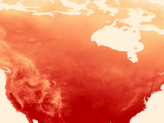
There has never been a time in the history of GIS when so much free, high quality data has been…

CIG Advancements in Geomatics 2016 Conference in New Brunswick Sept 26th-28th

Advancements in Geomatics – Research and Collaboration for Informed Decisions in a Changing World The Canadian Institute of Geomatics (CIG)…

Geoscience BC Launches Largest Airborne Magnetic Survey in its History

Vancouver, BC — Geoscience BC announced the launch of its largest airborne magnetic survey to date — the Search Phase…

NetCDF: a growing standard for encoding georeferenced data in binary form

Recently, the Open Geospatial Consortium (OGC) has announced an extension to the OGC CF-netCDF 3.0 encoding standard that specifies how…

SNRC: UAV Integration Highly Valued in Canadian Marketplace

Due to a foreseeable increase in the demand for UAV acquired aerial imagery in resource management, various firms are already…

Location Encoding Systems – Could geographic coordinates be replaced and at what cost?

Geocoding is the process of converting a street address into a physical location that can be described with a pair…

Discrete Global Grid Systems – A new OGC standard emerges.

The beginning of 2016 was accompanied with a sonorous press release from the Open Geospatial Consortium (OGC) entitled: “OGC® seeks…