ICT

Esri Canada Community Maps Program: Why more communities need to take advantage of this

The Community Maps Program (CMP) was introduced by Esri Canada in 2009 allowing organizations to share and host geographic data. …

CIG – Newfoundland and Labrador: Free Lunch and Geomatics Lecture March 2nd

The Canadian Institute of Geomatics, Newfoundland Branch, is delighted to host a FREE luncheon on Thursday, March 2, 2017, at…

Canadian flag

Ten Interesting Facts about the Geography of Canada

This year Canada will celebrate its 150th birthday on July 1st. Most of you, like me, will be out celebrating…

Geospatial Earth Observation Using Blimps, Balloons and Kites

These days drones are all the rage. Nevertheless, there are other ways to collect data from the sky! Blimps, balloons and kites…

The Integrated Cadastral Information (ICI) Society and ParcelMap BC

This is the first of two articles on the release of ParcelMap BC Data, which we see as a significant…

High Resolution Mapping Along the Coastal Zone - https://geomatics.one

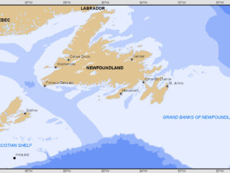
Atlantic Canada: COGS: Geomatics Professionals Coming to Discuss High Resolution Coastal Mapping

High Resolution Coastal Zone Mapping This collaborative effort by GANS & the CIG will engage the geospatial community & increase awareness on the value…

The Future of GIS Software? QGIS A Popular Open-Source GIS for the Masses

In today’s geomatics society, ArcGIS, developed by Esri, is a giant and dominates the GIS software market. However, there are…

Canadian Geomatics Innovation: Ecere Develops a Next Generation GIS

Not many companies undertake the ambitious goal of creating a new geospatial software suite from scratch. Ecere, a Canadian company…

Canadian flag

List of Canadian Geomatics Conferences and Events for 2017

This is our list Canadian geomatics conferences and events for 2017. Here you will find events pertaining to GIS, remote…

A List of Geospatial Open Data Resources in Canada

Recently, I read an article about the Canadian Geospatial Data Infrastructure (CGDI) that seeks to explain why the CGDI, among many…

Predicting the Future of the GIS in Canada

Editors note: This article has been jointly written by Bruce McCormack and Gordon Plunkett. Bios can be found at the…

The Art of Being a Cadastral Surveyor: Key abilities every surveyor needs

The Art of Being a Cadastral Surveyor:  The key abilities every surveyor needs There is an art to being a…