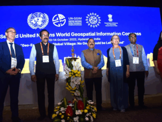
Technology

International Geospatial Briefing Aug 8: 1. Radar Sensing for Automotive and Wellness; 2. Webb Captures Cartwheel Galaxy Images; 3. NOAA Adds Census Tract Data to Climate Model Tool; 4. ArcGIS and Unreal Engine, Future of Constructions; 5. Spike Maps, New way to Visualize the Earth

Radar Sensing for Mobility, Wellness, and Holistic Smart City Bitsensing is South Korean startup that develops innovative radar sensing solutions for a connected and smart world. Not only it uses radar technology for automotive implementation, […]

|||||
Technology

International Geospatial Briefing June 27th: 1. Deepest Point of Antarctica’s Southern Ocean Mapped; 2. Digital Twin of Denmark’s Transmission Network; 3. Map Compares the World’s Mountains and Rivers; 4. How Geospatial can be Applied to Climate Challenges; 5. When Digital Tools Fail to Document; 6. Shifting from Response to Recovery

1. Deepest Point of Antarctica’s Southern Ocean Mapped The deepest point of the Southern Ocean surrounding Antarctica – a 7,432-meter (24,383-foot) deep trench called the Factorian Deep – has been closely detailed in a new […]