Maritime
Canadian BIM and Digital Twin Digest for September 8, 2022
In this Digest: BIM Academy Selected to Deliver Digital Strategy for $1.72 Billion Hospital Redevelopment Project, Kongsberg Digital Transforms Maritime…
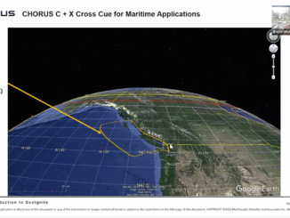
MDA Introduces Its Next SAR Mission: CHORUS
This Statellite Will Change How You See The World At the GeoIgnite, Winter Geo conference on March 2, 2022, during…
Maxar Technologies Gives Us a New Ocean View From the Crow’s Nest
Maxar’s Maritime Monitoring System is Filling the Need Protecting our seas has become a bit easier. As part of Canada’s…
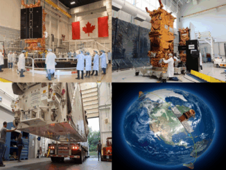
RADARSAT Constellation Mission: From Design to Launch to Operation
It has been well over two years since the launch of Canada’s most recent space mission, the RADARSAT Constellation Mission…
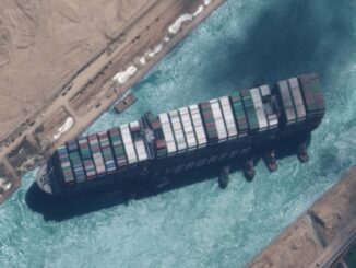
International Geospatial Briefing April 6th: Google Map with AI-powered updates; Suez Canal and maritime chokepoints; Mapping Covid-19 pandemic in Peru; Private influence on OpenStreetMap; Call for ethical location data use
Redefining what a map can be with new information and AI, new features coming to Google Maps, including AR for…
Your Canadian Geospatial Briefing for October 28th: Top 15 Largest Engineering Firms in Canada; Scanning the Earth with Lidar; A London Bar Uses Facial Recognition; Drone Delivery Canada and DSV Canada announcement; Canada’s Maritime Launch Services for C4M Upper Rocket Vehicle
Top 15 Largest Engineering Firms in Canada Canada has over 295,000 registered engineers in the country with an expected continuation…
MDA and Nanowave join forces to produce an innovative radar satellite payload
MONTREAL, MDA, a Maxar Technologies company (formerly MacDonald, Dettwiler and Associates Ltd.), (NYSE: MAXR; TSX: MAXR), today announced that it…
A Canadian Geographer’s Notes from Nunavut
For the last five years, I have annually had the opportunity to spend time in Iqaluit, Canada’s fastest growing community in Canada’s fastest growing territory or province. On arrival, I check out the selection of new books at Arctic Ventures and the screening of new movies about the North. This year, there was the chance to see John Walker’s Passage and to buy a copy of Darrel Varga’s book of the same name in the Canadian Cinema series.
Free Satellite Imagery For You: Sentinel 1 & 2
Sentinel constellations and data products As the ENVISAT program is coming to an end, the European Space Agency has begun…
Grand Banks to the Gulf of Mexico: My Canadian Geomatics Career
I often contemplate what it would have been like working at the same job for an entire career. Mind you,…
A List of Geospatial Open Data Resources in Canada
Recently, I read an article about the Canadian Geospatial Data Infrastructure (CGDI) that seeks to explain why the CGDI, among many…
MDA to deliver space-based SAR for broad-area maritime surveillance
Vancouver, BC – MacDonald, Dettwiler and Associates Ltd. (“MDA” or the “Company”) (TSX: MDA), a global communications and information company,…