• facebook
  • Twitter
  • Linkedin
  • Youtube
  • Linkedin Group
  • Post a Job
  • Post an Ad
  • Post an Event
  • Post a Directory Listing
  • Post a Press Release
  • Media Kit
  • My Account
  • Login
GoGeomatics
  • MAGAZINE
    • BIM & GIS
    • Community
    • Conference news
    • Earth Observation
    • Education & Careers
    • GEOAI
    • Announcements
    • Reality Capture & Lidar
    • Science
    • Technology
  • Directories
    • ASSOCIATION
    • INDUSTRY
    • EDUCATION
    • Open Data
  • EVENTS
    • GeoIgnite Events
    • Events Calendar
    • GoGeomatics Meetups
  • Services
    • Advertising
    • Marketing
    • Post a Job
    • Post an Ad
    • Post an Event
    • Post a Press Release
    • Post a Directory Listing
    • Media Kit
    • Web Design
  • Find a Job
  • Volunteer
    • Start a GoGeomatics Group
    • Editors & Writers Group
  • About Us
    • About Us
    • Contact Us
    • Frequently Asked Questions
  • Videos
HomeMAXAR

MAXAR

|||||||
Technology

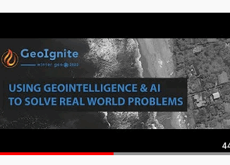
Panelists Discuss Using Geointelligence and AI to Solve Real World Problems

14 June 2022 GoGeomatics Canada | AI

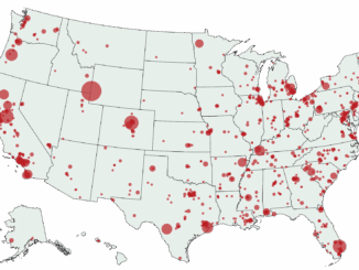
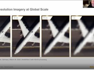
Maxar Sponsors Panel Discussion at GeoIgnite, Winter Geo During a livestream at the GeoIgnite, Winter Geo conference on March 1, 2022, guests were treated to five panelists speaking on “Using GeoIntelligence & AI to solve […]

||||
Technology

International Geospatial Briefing – June 6th, 2022: 1. Largest-ever imagery contract handed out by National Reconnaissance Office 2. Are Maps the next big medium? Felt is betting on it 3. Xona’s private GNSS passes critical tests on path to launch 4. New US school shooting map in wake of Texas tragedy 5. Geospatial and the problem of too much climate data

6 June 2022 GoGeomatics Canada | BlackSky

Largest-ever imagery contract handed out by National Reconnaissance Office A new announcement out of the National Reconnaissance Office in the US is now the largest-ever contract for imagery in the commercial sector. The contract, announced […]

|||||
Technology

Maxar’s Global Technology Shift from 2D to 3D

26 May 2022 GoGeomatics Canada | 2D

Maxar Endeavours to use Space and Earth Intelligence for the future of Geospatial Intelligence “Imagery is the foundation of our business.” During the keynote presentation at  Canada’s National Geospatial Conference, GeoIgnite “Winter Geo,” on March […]

Gedi sensor
Technology

International Geospatial Briefing March 28th: 1. Ukraine War Called ‘Catalyst’ for Space-Based Remote Sensing Industry 2. International Sea Level Satellite Takes Over From Predecessor 3. Nvidia launched a mapping product for the autonomous vehicle industry 4. Infotech Partners with Cultivate Geospatial Solutions 5. Nasa Urged to extend life of key climate sensor that maps world’s forests

28 March 2022 GoGeomatics Canada | Autonomous Vehicle

Ukraine War Called ‘Catalyst’ for Space-Based Remote Sensing Industry The war in Ukraine is bringing remote sensing technology to the forefront, leaders in the field said recently. The public is seeing images of convoys, shelled […]

|||||
Technology

Ukraine at War: Impacts of Geomatics, Geospatial & Earth Observation Technologies

15 March 2022 Jake MacLean | BBC

Russia’s invasion of Ukraine on February 24, 2022, sent shockwaves through the global community. As tension escalated in the months and weeks preceding the invasion, world leaders were divided as to whether or not a […]

Community

GeoIgnite: Winter Geo conference returns for fourth annual run

23 February 2022 Sean Heeger | annual

Climate change is the topic of discussion from March. 1 to 10 The fourth annual conference for the geospatial community, GeoIgnite: Winter Geo, is on from March. 1 to 10. This year, the topic of […]

||||
Technology

Enhancing Maritime Domain Awareness With Maxar’s Crow’s Nest Solution

21 February 2022 Maxar | crow's nest

Nations often ask their navies to monitor vast maritime regions for vessels engaged in nefarious activity. Often, these vessels are operating dark, meaning they are not broadcasting via Automatic Identification System (AIS), a signal that […]

|||||
Newsmakers & Press Releases

Register Now For GeoIgnite 2022 Winter Geo

8 February 2022 GoGeomatics Canada | conference

GoGeomatics is proud to present GeoIgnite, Canada’s largest geospatial conference. This year, Winter Geo 2022 is being held March 1st-3rd, and once again it is completely virtual. The event has been expanded due to popular […]

Posts pagination

« 1 2 3 … 6 »

Events

Notice
There are no upcoming events.

View All Events

Services

  • Post a Job
  • Post an Ad
  • Post an Event
  • Post a Directory Listing
  • Post a Press Release
  • Media Kit
  • My Account
  • Login

Jobs

Post a Job
  • Canada Maps and Poster Gallery Volunteer Leads — GeoIgnite 2026
    remote
  • GIS & Data Analytics Lead
    Beaumont, AB
  • Lead Surveyor, Projects/Arpenteur-géomètre principal, projets; arpenteuse-géomètre principale, projets
    North Bay, Thunder Bay
  • Senior GIS Developer
    Calgary, AB
View All Jobs
  • Directories
    • Associations Directory
    • Industry Directory
    • Education Programs
    • Open Data
  • Volunteer
    • Start a GoGeomatics Group
    • Editors & Writers Group
  • About Us
    • GoGeomatics Media Kit
    • Who We Are
    • Contact Us
    • FAQ’s
    • Advertising
    • Marketing
  • Subscribe
GoGeomatics
GoGeomatics is the largest and most popular communications hub promoting the Canadian geospatial community. The business was incorporated in 2011. GoGeomatics hosts over 100 fun, free, location technology networking events each year in cities across Canada.

© 2025 GoGeomatics

  • facebook
  • Twitter
  • Linkedin
  • Youtube
  • Linkedin Group