Technology
Canadian BIM and Digital Twin Digest for March 15, 2023
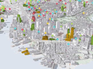
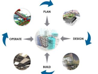
Digital Twins and the Ontario Housing Issue Benefits of BIM and Geospatial Technology Integration Into Construction Supply Chains ESRI Introduces ArcGIS Reality The Key for Canada’s Housing Crisis? Digital Twins Is Digital Twin Technology As […]