mobile
International Geospatial Digest for February 19th, 2024
DLR develops mobile station for Satellite Laser Ranging Fathom and World Bank collaborate to enhance flood resilience Black communities are…
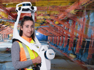
NavVis’ Exciting Addition to Canadian Surveyors’ Toolkits
New geomatics tech is always exciting when I come across it. So, it was doubly exciting to me that GoGeomatics…
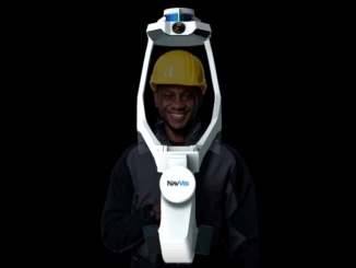
NavVis Changes the Game with Dynamic Mobile Mapping
During a LiDAR COMEX 2022, live stream on April 5, 2022, participants heard Marek Koltun, Senior Account Executive – Enterprise…
Discover Business Geografic’s GEO Software platform
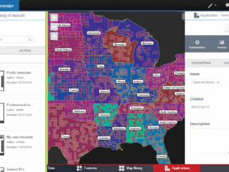
GEO Software is Business Geografic’s innovative and powerful GIS and Business Intelligence platform. GEO technologies, protected by an international patent,…
Your International Geospatial Briefing for June 22nd: Google Maps Platform; Global Partnership on Artificial Intelligence; Geospatial Data Strengthens Electrical Grids; Entire Roman City Mapped Using GPR
Google Maps Platform gaming solution now available to everyone Google first launched a gaming solution to bring real-world games to…
One of the Best Geomatics events in Canada: GeoAlberta 2017
I had a chance to attend the 2017 GeoAlberta conference earlier this month in Calgary, Alberta. This was my first…
COGS NSCC students use Geomatics to explore the history of Black Loyalists & Joggins Fossil Cliff
NSCC students make major impact in two small communities with huge historical significance Students at Nova Scotia Community College’s Centre…
Outil de versionnement des données géographiques à code source ouvert pour des environnements multi-contributeurs (partie 1)
Note des éditeurs : Cet article a été écrit conjointement par Nicolas Gignac, Dami Sonoiki (eHealth Africa) et Samuel Aiyeoribe (eHealth Africa). Ces auteurs…
GIS Open Source versioning tool for a multi-user Distributed Environment (part 1)
Editors note: This article has been jointly written by Nicolas Gignac, Dami Sonoiki (eHealth Africa) and Samuel Aiyeoribe (eHealth Africa). These authors…
CCA Ottawa Conference: “150 Years of Cartography: Past, Present and Future”
The 42nd Annual Conference of the Canadian Cartographic Association “150 Years of Cartography: Past, Present and Future” Location: Carleton University,…
GNOSIS – A New Geomatics Software Suite
Creating a new GIS from scratch is a tough undertaking. It involves a lot of innovation. Ecere, a Canadian company…
Geospatial Earth Observation Using Blimps, Balloons and Kites
These days drones are all the rage. Nevertheless, there are other ways to collect data from the sky! Blimps, balloons and kites…