Technology
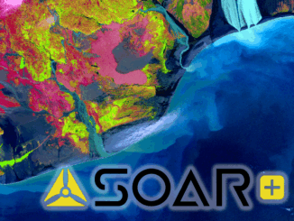
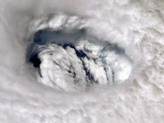
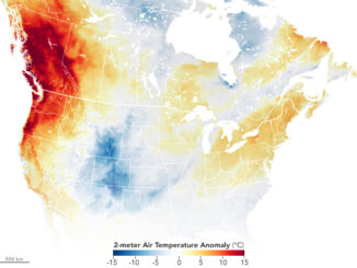
Canadian Geospatial Briefing July 5, 2021: Geospatial Applications for Indigenous Issues; Canadian Company Teledyne CARIS is Mapping the Seafloor; How SBEO is Helping Track Extreme Weather Events from Space; and Agriculture and Agri-Food Canada’s New Drought Forecast Tool
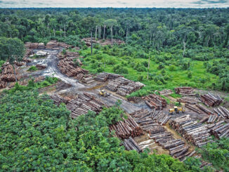
New Applications are Bringing Attention to Important Indigenous Issues June 2021 was a National Indigenous History Month like no other. With the heartbreaking discoveries made at former residential schools across the country, it is crucial […]