Newsmakers & Press Releases
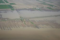
Earth Observation Exploitation Platform: OGC seeks your input on draft charter
The Open Geospatial Consortium (OGC) seeks comments on the draft charter of a proposed Earth Observation Exploitation Platform Domain Working Group (DWG). Earth Observation (EO) data captured by satellites has always been ‘big’ but an […]