BIM & GIS
What Lies Beneath: Why Canada Must Study the Land Before Building a New Pipeline
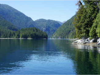
Projects built on well studied and understood terrain can combat the risk of catastrophic consequences of natural disasters. A powerful reminder is the 2002 Denali Fault earthquake, a magnitude 7.9 event that tore through the […]