press

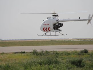
Drone Delivery Canada Issued First Canadian Cargo Transportation Agency Licence

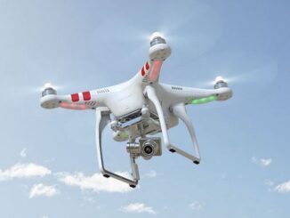
Drone Delivery Canada Corp. (TSXV: FLT; OTC QX: TAKOF; Frankfurt:  A2AMGZ or ABB.F) (the “Company” or “DDC”) is pleased to…

A Canadian Geographer’s Notes from Nunavut

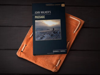
For the last five years, I have annually had the opportunity to spend time in Iqaluit, Canada’s fastest growing community in Canada’s fastest growing territory or province. On arrival, I check out the selection of new books at Arctic Ventures and the screening of new movies about the North. This year, there was the chance to see John Walker’s Passage and to buy a copy of Darrel Varga’s book of the same name in the Canadian Cinema series.

UAV Surveys – How to Ensure Accuracy and Precision

For the past four years, I’ve been involved with the capture and delivery of data derived from drones. My experience…

The Open Geospatial Consortium (OGC): proposed GeoRSS Community Standard

The Open Geospatial Consortium (OGC®) is requesting public comment on the proposed GeoRSS Community Standard.  First available in 2006, GeoRSS…

Canadian Hydrographic & National Surveyors Conferences: 2018 Victoria, BC: March 26-29

2018 Canadian Hydrographic & National Surveyors Conferences  March 26-29, 2018, Victoria B.C. Sponsor and Exhibitor Registration is now opened.  You…

My COGS GIS Education

What About COGS The Centre of Geographic Sciences (COGS) is one of the best colleges in Canada for learning GIS. …

GIS in Action: How Does BC Pinot Noir Express Terroir?

Editors note: In this previously published article, Karl Kliparchuk, BCIT GIS Program Head & Instructor uses GIS to explore the…

Top Ten Climate Change Maps and GIS Applications

Awareness for climate change has been steadily increasing ever since the Green Revolution in the 1960s. There is a plethora…

High Resolution Mapping Along the Coastal Zone Workshop

Event Recap: COGS & CIG & GANS Cooperate for Mapping Workshop

The Canadian Institute of Geomatics (CIG) Nova Scotia Branch and the Geomatics Association of Nova Scotia (GANS), two regional professional organizations that foster the application of geographic information within the geomatics sector recently collaborated to host a high resolution mapping workshop at the Centre of Geographic Sciences (COGS) in Lawrencetown, Nova Scotia.

UBC Unveils New Masters of Geomatics for Environmental Management

The UBC Faculty of Forestry is excited to announce that the official approval of the Master of Geomatics for Environmental Management…

Geospatial Earth Observation Using Blimps, Balloons and Kites

These days drones are all the rage. Nevertheless, there are other ways to collect data from the sky! Blimps, balloons and kites…

Interview with Sam Scovill, GIS Technician and 3 Day Champion on Jeopardy

Every weeknight, my mom and I watch Jeopardy together. Jeopardy always starts with the announcement of the contestants by their…

1 2 3 16