
Education & Careers
My COGS GIS Education, Part II
In my first article, I introduced the how and why I chose to attend COGS from the fall of 2014 to spring 2016. In Part 2, I wanted to give some insight into the first-year […]
In my first article, I introduced the how and why I chose to attend COGS from the fall of 2014 to spring 2016. In Part 2, I wanted to give some insight into the first-year […]

Awareness for climate change has been steadily increasing ever since the Green Revolution in the 1960s. There is a plethora of data, maps, and Geographic Information Systems (GIS) applications available freely or accessible to the […]
Creating a new GIS from scratch is a tough undertaking. It involves a lot of innovation. Ecere, a Canadian company based in Gatineau, Québec has been developing a software platform that has positioned them to […]
Not many companies undertake the ambitious goal of creating a new geospatial software suite from scratch. Ecere, a Canadian company based in Gatineau, Québec has been developing a software platform that has positioned them to […]
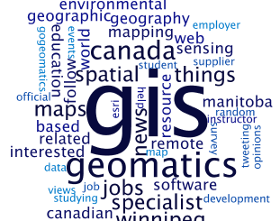
Geospatial information science and technology (GIS&T) has rapidly evolved over the last few decades. This evolution has created a highly demanding job market for GIS professionals [3,4]. Recently, students, graduates, and professionals are more and […]
Richmond, BC – MacDonald, Dettwiler and Associates Ltd. (“MDA” or the “Company”) (TSX: MDA), a global communications and information company, announced that it has signed a CA$48.5 million (including taxes) contract with the Government of […]
Last week I was among an interesting group of participants and presenters who came together to discuss Big Data (June 1st, 2016). The day long event was framed as an exploration of “Big Data: Technology […]
The tiling of large maps is an old practice. Large paper maps have always been divided into a series of map sheets at various scales. With the increasing popularity of web mapping applications and […]