Technology
Remote Sensing QGIS: Semi-Automatic-Classification Plugin (SCP)
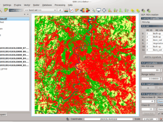
Semi-Automatic Classification Plugin Today I’m going to take a quick look at one of the remote sensing plugins for QGIS. Let’s have a look at what I think is one of the more useful […]