Technology
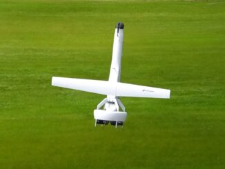
Canadian Geospatial Briefing August 16th: Mapping potential intensification area at Ottawa, future challenges caused by climate change, Latin flavor map to explore Latino culture, 2022 Agro-Geoinformatics Event Quebec City, Canadian Coast Guard testing out new fixed wing drone
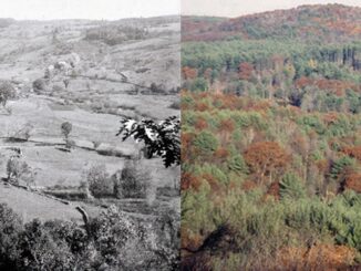
New map helps policy makers to find out potential areas for intensification In the City of Ottawa, the projected population in 2046 may reach 5 million, urging the government to focus on urban intensification instead […]