research

NetCDF: a growing standard for encoding georeferenced data in binary form

Recently, the Open Geospatial Consortium (OGC) has announced an extension to the OGC CF-netCDF 3.0 encoding standard that specifies how…

JMap provides instant access to all of the Canadian railway network’s geospatial data

K2 Geospatial, a leading geospatial software company and the editor of JMap, is pleased to announce the creation of the…

GIS Certification: Esri Certification

Many GIS Certification options exist for Canadian geomatics professionals, including software-specific certifications. One popular software certification is the Technical Certification…

GIS Certification: The Canadian Institute of Geomatics Certification Program

One of the GIS Certifications available to Canadians specifically is the Certified Geomatics Specialist certification available from the Canadian Institute…

SNRC: UAV Integration Highly Valued in Canadian Marketplace

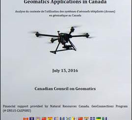
Due to a foreseeable increase in the demand for UAV acquired aerial imagery in resource management, various firms are already…

Professional Certification: Population Health Data Analysis in British Columbia

Population health research is inherently interdisciplinary, multifaceted and firmly rooted in the evolving connections between place, time and related socioeconomic…

UAV Technology in the Canadian Forestry Sector

The Unmanned Aerial Vehicle (UAV) industry is soaring! Civilian drones are being applied in various global industries ranging from agriculture…

Esri Canada Named Gold Standard Winner among Canada’s Best Managed Companies

Esri Canada, the country’s leading enterprise geographic information system (GIS) solutions provider, has been named a Gold Standard winner among…

An API for the World’s Weather & Climate Data

Planet OS is excited to announce the launch of our first API designed specifically for geospatial and Earth observation data.…

Location Encoding Systems – Could geographic coordinates be replaced and at what cost?

Geocoding is the process of converting a street address into a physical location that can be described with a pair…

Innovative solutions for bathymetry at Oceanology International 2016

March 7, 2016 — Teledyne Optech is pleased to announce that it is taking its most powerful and flexible surveying…

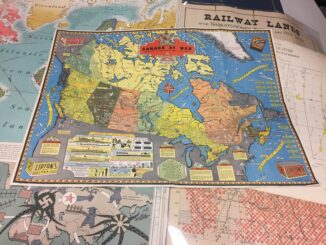
Remembering Roger Tomlinson & Early History of GIS in Canada

It’s two years now since Roger Tomlinson passed away.  Roger’s and my career path have crossed several times over the…