Royal Canadian Geographical Society
Giant Arctic Floor Map Lets Students Explore Canada’s North
Canadian schoolchildren can get a chance to “walk” across Canada’s Arctic and challenge their perceptions of the North through a…
GIS Technology and the Franklin Expedition: An Opportunity for Our Geomatics Sector
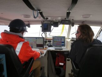
It’s taken nearly 170 years to uncover wreckage from the infamous Franklin Expedition, one of Canada’s biggest mysteries. Last week,…
Canadian Geomatics Twitter Channels: Friends with Benefits
This piece is generated by my experiences with my own account @RebelGeo and as Tweeter for Canadian Geographic Education @CanGeoEdu.…
All the Geomatics Acronyms You Wanted to Know but were Too Afraid to Ask
Here in Canada, there are many geomatics acronyms that get tossed around. During the recent “Team Canada” event that the…
Looking Back on The CGCRT Team Canada Event
The CGCRT Geomatics Strategy, Action, and Implementation Planning Workshop took place in Ottawa June 9 and 10 at the Delta…
Geospatial Niagara – Geographic Education Town Hall Meeting
So, what do you do when approximately 8,000 practitioners of the Humanities and Social Sciences domain converge at the university…
Report on Geography & Education, St. John’s Meeting at Memorial
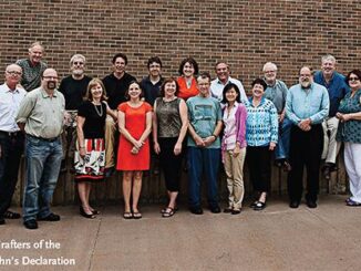
A seminal event that has the potential to have a powerful impact on geography, geographic education, and all related geospatial…
Lawrence W. “Larry” Morley: founder & first President of the CRSS & the first Director General of the CCRS
Very Sad News for the Remote Sensing Community. / Triste nouvelle pour la communauté de télédétection. [CRSS-SCT] Canadian Remote Sensing…