

Four years ago, the Atlantic Division of the Canadian Association of Geographers (ACAG) meeting at St. Mary’s University brought a number of geographic educators together to discuss the state of geographic education in the Atlantic Region. This powerful and motivating session ultimately led to a special meeting organized by the Canadian Association of Geographers and The Royal Canadian Geographical Society, a community of geographic educators that came together to create an agreement and action plan for geographic education for Canadians, ultimately named the St. John’s Declaration of 2013. So, what is the state of geographic education now, three years later?
These workshop sessions will provide an overview of the Declaration, as well as an analysis of what provincial, regional and national efforts on geographic education have been introduced since that time. This session will welcome some of the very people who signed on to the Declaration, as well as students, teachers and geographic curriculum developers and researchers who believe that spatially literate citizens are essential to the future of Canada.
27th Annual Meeting of the Atlantic Canadian Association of Geographers
Where: Mount Allison University
When: November 4-6, 2016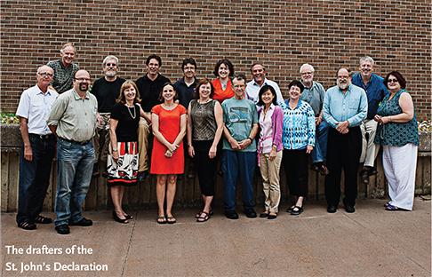
This is a reminder that if you are planning on attending the 27th annual meeting of the Atlantic Division of the Canadian Association of Geographers / Division de l’Atlantique de l’Association Canadienne des Geographes (ACAG / ACGA) please register soon, as the deadline is *Friday, September 30*:
http://www.mta.ca/acag16/registration.html
Workshop: Advancing Geographic Education: What Ever Happened to the St. John’s Declaration?
Stuart Semple, Mount Allison University
Michael Fox, Mount Allison University
John Trites, Atlantic Representative, Canadian Geographic Education


Be the first to comment