russia
International Geospatial Digest for April 15th 2024
US Warns Allies of China’s Military Assistance to Russia The US has issued warnings to its allies about China’s provision…
International Geospatial Digest for March 4th, 2024
Lake Rotorua’s Hidden Secrets Revealed Empowering Disaster Resilience: Geospatial Training in Bangladesh Russia’s Pursuit of Nuclear-Powered Space Warfare: A Looming…
Ukraine at War: Impacts of Geomatics, Geospatial & Earth Observation Technologies
Russia’s invasion of Ukraine on February 24, 2022, sent shockwaves through the global community. As tension escalated in the months…
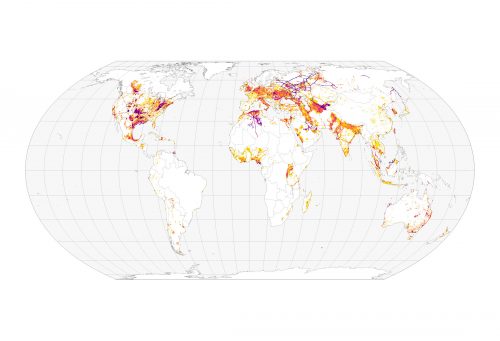
International Geospatial Briefing Jan 31st: 1. Exploring the World’s Food Sources; 2. Tracking Sinkholes with Satellites; 3. New Map Shows 2016 Methane Emissions Worldwide; 4. AI and McDonald’s Locations; 5. Satellites Proving Useful in Aftermath of Tonga Eruption
New Interactive Map Explores World’s Food Sources A new application recently published by Visual Capitalist allows users to explore food…
Your International Geospatial Briefing for August 26th: Russia, China Alliance on Navigation Satellites Threatens GPS; Three New Programs Are Added to Hexagon Geospatial Education; The Shift from 4G to 5G Will Change Just About Everything; Elon Musk: “Anyone relying on lidar is doomed,” Experts: Maybe not; Monitoring Wildfire Risk Using Space and AI
Russia, China Alliance on Navigation Satellites Threatens GPS Russian and Chinese satellite navigation systems have recently stated that their main…
Your Global Geospatial Briefing for July 30th: Russian satellite; Deimos Imagery; Will Cadell talks software; Abu Dhabi; Singapore; Continental Mapping
$150 million Russian satellite to launch by 2025 Russia’s Research and Production Association of Machine-Building has won a contract with…
Ten Interesting Facts about the Geography of Canada
This year Canada will celebrate its 150th birthday on July 1st. Most of you, like me, will be out celebrating…
New Galileo navigation system is experiencing clock failures
Since December 15, 2016, the new Galileo global satellite navigation system has been up and running. Unfortunately, there are…
Canada Takes Part: Arctic Spatial Data Infrastructure Meets in Anchorage
The Arctic SDI Board, which includes mapping executives from Canada, Kingdom of Denmark, Finland, Iceland, Norway, Russia, Sweden and the…
Geospatial Niagara: Day of Geography, ihub, Geoparks, TreeOcode, & St. John’s Declaration
It’s hard to believe that it’s been over a year since my post introducing Geospatial Niagara to GoGeomatics Canada readers.…
East View Secures New Partnership Agreement with Valtus
MINNEAPOLIS – March 1, 2016 – East View Geospatial is excited to announce an agreement with Valtus Imagery Services, part of…
Top 5 Popular GoGeomatics Articles from 2015
It’s that time again! Time to take a look back at the last year on the Magazine and see which…


