Technology
Your International Geospatial Briefing for November 18th: Satellite InSAR Data used to detect massive size of North Korean Nuclear Testing; How GIS Makes IoT Data Come Alive; LiDAR: Promise and Challenge in Autonomous Vehicles; Bill Gates uses mapping tech to curb polio
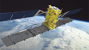
Satellite InSAR Data used to detect massive size of North Korean Nuclear Testing Following the withdrawal of North Korea from the Non-Proliferation of Nuclear Weapons treaty over 15 years ago, a suspected underground hydrogen bomb […]