Seabed 2030 project
Canadian Geospatial Digest August 7th, 2023
The Arctic Observing Mission: Monitoring the Arctic in new and profound ways First Nations have new weapon in traditional land…
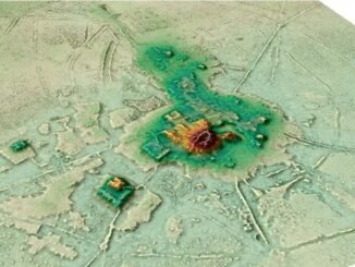
International Geospatial Briefing July 11th: 1. Quarter of Earth’s Seafloor Mapped; 2. Seabed Mapping App; 3. NOAA Joins Effort to Map Ocean Floor; 4. UN Satellite Centre and NVIDIA Boost Sustainable Development Goals; 5. Geospatial Workforce Challenges; 6. Digital mapping settlements in the pre-Columbian Amazon
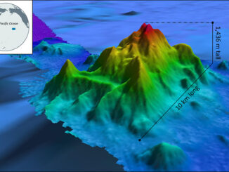
Nearly a quarter of Earth’s seafloor now mapped The Seabed 2030 project aims to have the entire earth’s seafloor mapped…
International Geospatial Briefing Nov 22: 1. Two million square km of the seafloor mapped. 2. Importance of marine geospatial data. 3. Using smartphones to map road potholes. 4. Into the metaverse. 5. The Geography of Mysteries. 6. Mapping our human footprint.
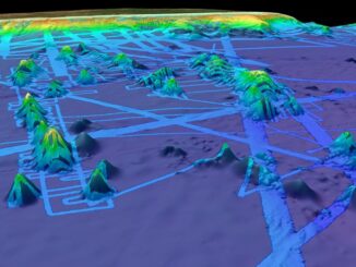
NOAA Ocean Exploration Meets Major Mapping Milestone on NOAA Ship Okeanos Explorer The National Oceanic and Atmospheric Administration (NOAA) has reached…
International Geospatial Briefing June 28th, 2021: Record High Ground Temperatures in Siberia; Digital Divide across the United States; Mapping more than 20% of the Ocean Floor; Tracking Bird Migration; Analysis of Toshka Lakes in Egypt
Ground Temperatures Hit 118 Degrees in the Arctic Circle During the recent heatwave in Siberia ground temperatures reached 118 degrees…