series
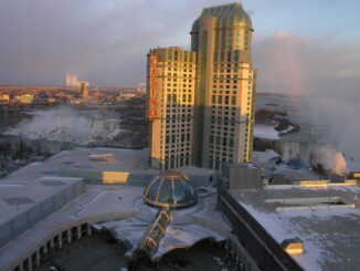
Altus Geomatics’ Contributions to Fallsview Construction Helped to Create World-Class Canadian Casino
When construction began on Niagara Fallsview Casino Resort in 2001, the spectacular natural surroundings belied a particularly difficult problem for…
New Brunswick: CARIS Announces release of HIPS and SIPS™ 10
Fredericton, NB, Canada – November 01, 2016 – Teledyne CARIS™ is pleased to announce the release of HIPS and SIPS™ 10.…
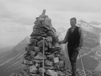
Canadian Surveyors “Remark” on History with Elk Pass Boundary Restoration Survey
The Alberta-British Columbia Boundary Commission has just completed a monument restoration survey to restore a number of deteriorated provincial boundary…
LiDAR in Canada: Conversation with Dr. Chris Hopkinson Research Chair Remote Sensing University of Lethbridge
The author Bob Maher (BM) and Chris Hopkinson (CH) both worked as scientists at the Appied Geomatics Reearch Group (AGRG)…
Jessi Mielke Esri’s Certification Manager Chats About the Esri Technical Certification Program
For the last 6 months I’ve been writing articles and discussing my experience in regards to the Esri technical certification…
Join us for Coast to Coast “Back to School” 2016 GoGeomatics Canada Socials
GoGeomatics Canada is kicking off the new school year this September, and welcoming everyone to our Canada-Wide Back to School…
Canadian GIS Ambassador Program: Interview with Brent Hall, Director of Education & Research at Esri Canada
Interview with Brent Hall, Director of Education and Research at Esri Canada and, along with his staff, the initiator of…
The Accidental Geographer: Thoughts on Coming Home
My friend, Edward, directed me towards the Internet and the podcast website entitled ‘The Accidental Geographer’. Edward, in his version…
Airbus Defense And Space Signs Deal with Vancouver’s 3v Geomatics
Airbus Defense and Space and 3v Geomatics Inc. (3v Geomatics) signed a multi-year agreement that will provide 3v Geomatics with…
Esri Technical Associate Certification: how I passed the test
A few months ago, I decided to obtain the Esri Associate certification for ArcGIS Desktop and wrote about my reasoning here. …
NetCDF: a growing standard for encoding georeferenced data in binary form
Recently, the Open Geospatial Consortium (OGC) has announced an extension to the OGC CF-netCDF 3.0 encoding standard that specifies how…
Canadian Municipalities Unlock Their Data with Esri’s ArcGIS Open Data
TORONTO—April 25, 2016—Esri Canada today announced that more than 20 Canadian municipalities have adopted ArcGIS Open Data. Esri’s cloud-based geographic…