BIM & GIS
International Geospatial Digest – October 20, 2025
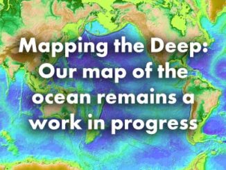
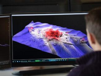
Visualizing the Gaza conflict through maps and satellite imagery Charting global ecosystems to drive meaningful action Combining lidar and sonar to transform seafloor mapping Meet Owl: Planet’s most sophisticated satellite mission to date Topcon asserts […]