Story Maps
International Geospatial Briefing for August 22nd, 2022
Mapping Earth’s deepest points, the collision of Geology and Geospatial ISS to get a new hyperspectral remote sensing lab A…
Canadian Geospatial Briefing May 16th: 1. Correlation between BC wildfires and floods 2. NG9-1-1 GIS Validator 3. NRCan migrated petabytes of geo data to the cloud 4. Aerial Imagery Cost-Sharing 5. RCMP using aerial images for missing people
Satellite mapping finds correlation between B.C. wildfires and floods Data scientists at SparkGeo, a geospatial company based in Prince George,…
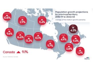
Canadian Geospatial Briefing June 21st, 2021: Apple Maps Cars; Population growth and Housing issues; Elizabeth Cannon’s honorary degree; Saskatchewan’s growing opioid deaths maps; Modernizing COMPSTAT at the Vancouver Police Dept.
Here’s Where Apple Maps Cars are Collecting Images in Canada this Summer Two years ago, a fleet of Apple Maps…
Remember WWII With Maps & Diaries From Project’44
It’s Remembrance Week and as you take the time to learn about and reflect on WWI and WWII, I urge…