Survey
CIG: Free Conservation GIS Workshop – St. John’s, Newfoundland
When: Monday June 5th, 2017 Where: Memorial University of Newfoundland Who: CIG – NL The Canadian Institution of Geomatics is pleased…
UAV Surveys – How to Ensure Accuracy and Precision
For the past four years, I’ve been involved with the capture and delivery of data derived from drones. My experience…
Association of Canada Lands Surveyors Develops New Canadian Hydrographer Certification
Canadian Hydrographer Certification Scheme Association of Canada Lands Surveyors The Association of Canada Lands Surveyors (ACLS) has developed a certification…
Event in Pictures: COGS Industry Expo 2017
The College of Geographic Sciences (COGS) held the 2017 COGS Industry Expo on March 23 in Lawrencetown, Nova Scotia. COGS…
CANMAP, and SHIFTing gears at COGS
At the end of last month, John Wian hosted the Annual General Meeting (AGM) of the CANMAP Research Institute in…
Event Recap: The 2017 Canadian Surveyors Conference in Ottawa
On March 1st and 2nd land surveyor professionals, as well as industry exhibitors, headed to Ottawa for the 2017 Canadian…
Annapolis Community Mapping April 13 at COGS
1866: a twenty three year old blacksmith from rural Annapolis County who could neither read nor write. 1888: a five…
COGS NSCC students use Geomatics to explore the history of Black Loyalists & Joggins Fossil Cliff
NSCC students make major impact in two small communities with huge historical significance Students at Nova Scotia Community College’s Centre…
My COGS GIS Education, Part II
In my first article, I introduced the how and why I chose to attend COGS from the fall of 2014…
Canadian Hydrographic & National Surveyors Conferences: 2018 Victoria, BC: March 26-29
2018 Canadian Hydrographic & National Surveyors Conferences March 26-29, 2018, Victoria B.C. Sponsor and Exhibitor Registration is now opened. You…
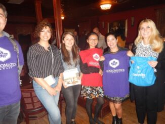
March 2017 GoGeomatics Talks: Toronto, London, Peterborough, Halifax
GoGeomatics Canada has built a thriving geospatial community by creating networking opportunities for our participants. We achieve this by holding free informal…
Free Webinar March 15th: NRCan, OGC, & USGS Arctic Spatial Data Pilot Demonstration
The Canada Centre for Mapping and Earth Observation invites you to attend the Arctic Spatial Data Pilot Demonstration Webinar. Managed and…