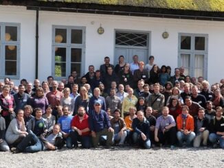
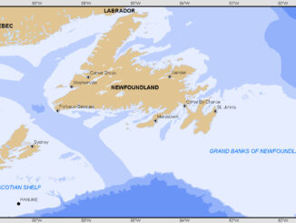
Grand Banks to the Gulf of Mexico: My Canadian Geomatics Career
I often contemplate what it would have been like working at the same job for an entire career. Mind you, the thought of the same job day in and day out never appealed to me. I’m […]
More powerful, even more robust and interoperable, JMap 7 is now available JMap’s 7th version is finally here! K2 Geospatial, a leading map-based solution developer, is proud to announce the release of the newest version […]
Please consider submitting an abstract for the CAG 2017 York University, May 29 – June 2, 2017. The last day to submit abstracts for either special or general paper sessions via the conference website is February 24, 2017. […]
Since December 15, 2016, the new Galileo global satellite navigation system has been up and running. Unfortunately, there are some technical difficulties on the horizon, having to do with the clocks that are on […]
Every weeknight, my mom and I watch Jeopardy together. Jeopardy always starts with the announcement of the contestants by their profession. Usually we hear about the doctors, the lawyers and the teachers on Jeopardy. But […]
High Resolution Coastal Zone Mapping This collaborative effort by GANS & the CIG will engage the geospatial community & increase awareness on the value that geospatial data provides to effective decision making January 30, 2017 (Halifax, NS) – Next week […]
In today’s geomatics society, ArcGIS, developed by Esri, is a giant and dominates the GIS software market. However, there are some other great and powerful GIS software applications. QGIS is a typical GIS application among […]
The coastal zone, that dynamic geographic region where the interaction of the sea and land occurs, is vital to the lifestyle and economy of Atlantic Canada. Having quality geospatial data is essential for mapping coastal […]