Technology
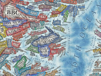
International Geospatial Briefing June 14th, 2021: Study of Australian Land Ownership; Drone thermal mapping for emergency response; Combination of Digital Twins and GIS; The map of the online world; Vaccine distributions across the world
Australian Land Ownership The ownership of Australian land can be dated back to 60,000 years ago, however, the modern legal system makes the situation more complicated with titles such as freehold, crown leases, native title, […]

