Technology
Your Canadian Geospatial Briefing for June 15th: Canadian Drone delivery solution; City of Montreal open data; Tagged leatherback sea turtles; Endangered Fish in BC
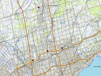
Drone company will convey COVID-19 medical equipment to First Nation Drone Delivery Canada (DDC) will transport COVID-19 medical products using Sparrow drone to Beausoleil First Nation (BSN) community located at the southern tip of Georgian […]


