|||
Technology

International Geospatial Briefing April 25th: 1. Using drones to study forests; 2. US bans anti-satellite missile tests; 3. Anaconda collaboration with Esri; 4. UP42 partners with Nearmap; 5. World’s 1st blockchain geospatial network

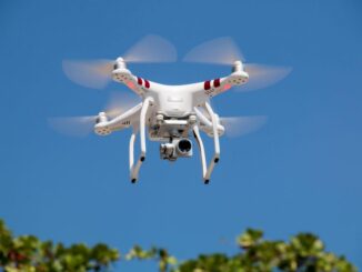
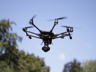
Using drones to study forest canopy in UNESCO world heritage site A recent study led by researchers at the University of Tuscia and the Mediterranea University of Reggio Calabria found that using unmanned aerial vehicles (UAV) allowed […]

||||
Technology

Canadian Geospatial Briefing for November 9th: McMaster historical map conservation; Underwater acoustic gliders for whale detection; New satellites to track space debris; Microsoft Azure powers regenerative agriculture; Multi-parties’ drone research; Driverless shuttles take road tests

Newly conserved rare map provides unique snapshot of life in 19th century Ontario https://brighterworld.mcmaster.ca/articles/newly-conserved-rare-map-provides-vivid-snapshot-of-life-in-19th-century-ontario/ McMaster University Library’s Preservation Lab conservators using new, experimental techniques to combat the challenges of wood pulp paper map conservation and […]