
Community
Open Data, Open Source, Open Possibilities
Back in 2006 I (Jim) was a student at BCIT and a Vancouver resident, eager to obtain some local data for a project. I sent a hopeful email to City of Vancouver (COV) requesting the […]
Back in 2006 I (Jim) was a student at BCIT and a Vancouver resident, eager to obtain some local data for a project. I sent a hopeful email to City of Vancouver (COV) requesting the […]
This blog is a sequel to last month’s discussion on ‘think global, act local‘. It looks at the the Gowgaia Institute and their use of Geomatics technologies, including an interview with John Broadhead a director […]
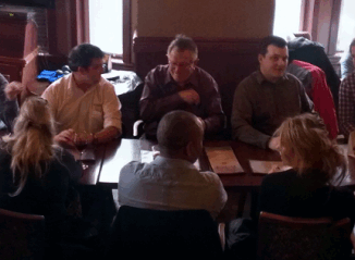
VANCOUVER, Esri Canada User Conference – November 17, 2015 – The District of Squamish is a fast-growing municipality between the City of Vancouver and the Resort Municipality of Whistler in British Columbia. As people strive […]
This article is the first in a monthly GoGeomatics Canada series on topics related to Open Source GIS for Everyone, by Rick Davidson and Jim O’Leary, Continuing Studies (CS) instructors at Langara College in Vancouver, […]
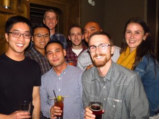
The 2nd annual GoGeomatics 2015 Back to School Socials have been a tremendous success. Last year we had 200 participants and we thought that was huge. This year we almost doubled that with 365 participants. […]
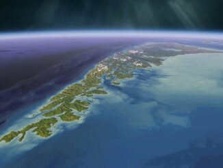
For over fifty years, the islands off the coast of British Columbia and Alaska have been called ‘the outer shores’. This goes back to the pioneering exploration by Ed Ricketts, an ecologist, who gained renown […]
GoGeomatics Canada thanks our sponsors of the 2015 Back To School Socials that are happening across Canada this month (Dates below). These companies, groups, and schools are truly leaders in the Canadian geomatics community. […]
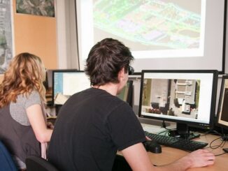
The BCIT GIS department has been graduating students for 25+ years. Our students come from BC, but as well, across Canada and international. Our program is known to be very demanding, and creates students that […]