
Join Us for a One-Day QGIS Workshop May 1, 2023
Are you a GIS professional, a new GIS user, or even someone with an interest in GIS? Join us for 1 Day Introduction to QGIS, an accredited, eight-hour workshop (9am to 5pm) on May 1, […]

Are you a GIS professional, a new GIS user, or even someone with an interest in GIS? Join us for 1 Day Introduction to QGIS, an accredited, eight-hour workshop (9am to 5pm) on May 1, […]
Join Geospatial Training Solutions, GIS Trainer and Consultant, Nick Bearman during this practical, one-day, online workshop, and explore the use of R to import, manage, and process spatial data. The workshop takes place on May […]
Take part in a GeoTech Rapid in QGIS Basics (installation and Project Setup) on May 2, 2023, from 1 pm to 2 pm. Your trainer will be Eric Purdie, EBP Geospatial Consulting Inc.,Teaching Assistant. This […]
As part of the GeoTech Training Program, join a variety of public and private sector staff, project managers, teams, GIS program professionals, stakeholders, and academic faculty in this practical, one-day, online training workshop on Best […]
Climate change is the topic of discussion from March. 1 to 10 The fourth annual conference for the geospatial community, GeoIgnite: Winter Geo, is on from March. 1 to 10. This year, the topic of […]
GeoTechTraining.com has arranged the latest geo technology trends and techniques training led by leading industry experts in a safe and convenient online platform. We are now offering the following workshops: No Training Dates Price 1 […]
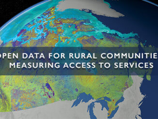
The growth of open geospatial data and tools provides new opportunities to map accessibility to services for rural and remote communities. With comprehensive and comparable measures on accessibility, policy makers have the enhanced ability to […]

GoGeomatics has taken our popular geospatial career seminars online. Over the past 8 years, Jonathan Murphy, Canada’s geomatics career coach, has provided hundreds of geospatial job seekers expert advice and guidance finding employment. Saturday May […]