
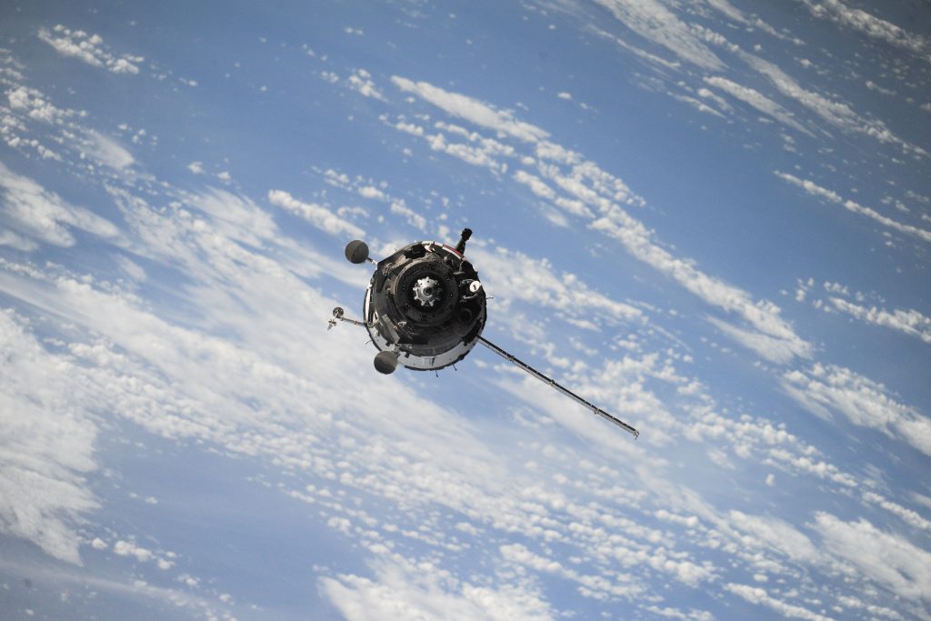
Russia, China Alliance on Navigation Satellites Threatens GPS
Russian and Chinese satellite navigation systems have recently stated that their main goals are; augmentations, increasing performance and ensuring the compatibility of GLONASS and BeiDou navigation systems.
In the last month, some experts have begun to see a need in assessing the implication to GPS and the United States due to the new stage the current partnership have entered. A law has recently been passed in Russia stating that “On ratification of the agreement between the Government of the Russian Federation and the Government of the People’s Republic of China on cooperation in the use of GLONASS and Beidou global navigation satellite systems for peaceful purposes.”
These two satellite systems “could declare their shared PNT architecture to be the official and primary source for PNT services”. Although there are many strategic advantages for these two countries, it does demonstrate some weaknesses of GPS especially in the US and Europe.
Viewpoint: Russia, China Alliance on Navigation Satellites Threatens GPS
Three New Programs Are Added to Hexagon Geospatial Education
Hexagon Geospatial Education has released the information on the 3 newest additions to the program.
The first addition is M.App X. This is a browser-based software allowing users to analyze imagery more effectively. To learn more, click here.
The second addition is M.App Enterprise. This system allows users to create apps and host them, securely, at their location. To learn more, click here.
The final addition is Luciad. This allows for the user to analyze and better visualize the and move and change of the Earth’s surface. To learn more, click here.
Hexagon Geospatial Education Adds Three New Programs to the Lineup
The Shift from 4G to 5G Will Change Just About Everything
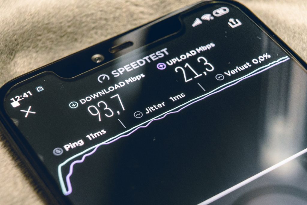
For the last while, we have been hearing about how the application of 5G will be a massive change worldwide, but Telecom is going as far as stating that it is the 4thindustrial revolution. This change will improve the bandwidth of the signals and increase download speeds.
Although we have to remember that with new technologies comes new obstacles to overcome, we must remember that the day-to-day technologies we now use were new at one point, and who knows where we will be once 5G becomes a standard.
The Shift from 4G to 5G Will Change Just About Everything
Elon Musk: “Anyone relying on lidar is doomed,” Experts: Maybe not
Tesla’s CEO, Elon Musk, believes that the companies using Lidar while developing self-driving cars are making a huge mistake.”Lidar is really a shortcut,” stated Tesla AI guru Andrej Karpathy. “It sidesteps the fundamental problems of visual recognition that is necessary for autonomy. It gives a false sense of progress and is ultimately a crutch.”
Experts have demonstrated that cameras and lidar together make the perfect team. By converting the camera data to lidar points, experts believe it will close some of gaps in the paper. The accuracy has been prove to improve from 66% to 86%.
Elon Musk: “Anyone relying on lidar is doomed,” Experts: Maybe not
Monitoring Wildfire Risk Using Space and AI
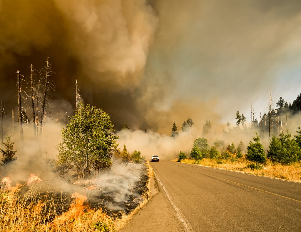
A new partnership is combining satellite imagery and AI to give a continuous update of wildfire risk in California. California Forest Observatory, Vibrant Planet, Salo Sciences and Planet and announces their upcoming partnership and all of the benefits it will have in improve the resilience of wildfires, disease and climate change.
The software developers will be offering the beta version for free to scientists in the field to ensure accuracy and relevance with the final product. We are glad to see the use of this technology to benefit our environment and its preservation.


Be the first to comment