Technology
Scribble Maps Makes Mapping Accessible to All
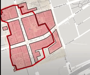
Wagner Demonstrates Ease of Use Among Other Strengths On March 22, 2022, during a SUMSF live stream presentation, Jonathan Wagner, CEO of Scribble Maps, demonstrated and discussed how to use Scribble Maps to create digital […]