Discussing the Proposed Pan-Canadian Geomatics Strategy at the University of Ottawa
On April 19th, the Canadian Remote Sensing Society (CRSS) and GoGeomatics Canada got together with other members of the Ottawa geomatics community to discuss the first draft of the Pan-Canadian Geomatics Strategy.
GoGeomatics wants to thank everyone who came out on this Easter weekend to talk geomatics. We would also like to thank Saeid Homayouni, professor at the Department of Geography at the University of Ottawa, for allowing us to use their facilities. A big thank you as well to Regie Alam of the Ottawa Chapter of the CRSS for speaking to us about the governance and leadership aspects of the Geomatics Strategy and last but not least, Barry MacDonald of Hyperion Consulting, for speaking to us about educations and capacity building.
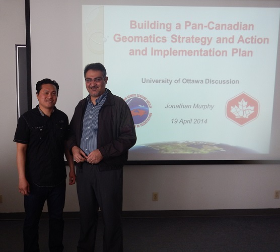
Regie Alam & Saeid Homayouni
We had eleven participants at our discussion and all of them were notable as either senior members and/or as decision makers in the geomatics community. Most notably Prashant Shukle Director General, Canada Centre for Mapping and Earth Observation at Natural Resources Canada.
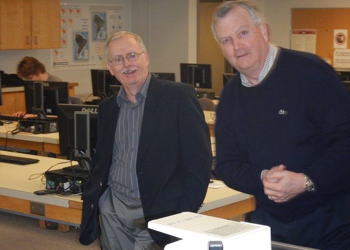
Barry A. MacDonald & Neil Thompson
We will be submitting the notes from the discussion to the CGCRT this week as a contribution to the engagement going to the Steering Committee of the CGCRT.
If you could not make it to this event never fear, Corrina Vester, Canadian Geo-Secretariat Coordinator at National Resource Canada, and Ann Martin, the Director of National Resource Canada’s GeoConnections program, will be talking about the Canadian Geomatics Round Table (CGCRT) at the next Ottawa GoGeomatics Social. This month’s Social will take place on April 25th at 7pm at the James Street Pub at 390 Bank Street. Join us at this fun free event.


