Leadership in Times of Disruption: GeoIgnite 2020 talks at a Glance
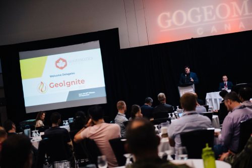
Canada’s geospatial community is gathering next week for GeoIgnite 2020. The second annual conference is being held online this year from the 22nd to the 24th of July.
The theme for 2020 is: Leadership in Times of Disruption.
Registration for the conference closes July 20th to ensure instructions to participants are sent out ahead of time to best experience the event.
Registration is free for all government workers and contractors. If you are a Federal, Provincial or municipal geospatial professional claim your Zoom seat now before we close our registration. Tickets for industry are also available.

Geospatial Opportunities in COVID Times
On Wednesday, July 22, the first Keynote speaker is Éric Loubier, Director General, Canada Centre for Mapping and Earth Observation (CCMEO).
The Director General will discuss how Natural Resources Canada’s CCMEO provides geospatial services for Canadians and decision makers as a response to the COVID-19 crisis.

Geospatial data & analytics advance issues critical to Indigenous communities across Canada
David Acco, President of Acosys Consulting Service Inc is a speaker of this talk. Learning about Acosys as a 100% Aboriginal-owned operated business and how geospatial data and analytics are used to reach costume-made solutions for indigenous communities will be invaluable.
Strategic Geospatial for a Complex World
Will Cadell, CEO of SparkGeo will talk about how brand-new geospatial technology will be useful in a changing world.
The SparkGeo team had already been working remotely before the pandemic which in my view, was a very smart decision.

Growing Canada’s Next Earth Observation (EO) Generation
On Thursday, July 23, the keynote speaker is Paul Kennedy, VP of the Geointelligence Group, MDA Geospatial Services International
This talk is quite important as recently MDA returns to Canadian control as a private, independent company headquartered in Canada.

James Ashton, Technology Manager of Agriculture and Agri-Food Canada (AAFC) and Paul Giroux from Slimgim are speakers of this talk.

You can find useful information during this talk regarding the role of geospatial technology in agriculture and agri-food system especially with the impact of COVID-19 on Canada’s food system.
Also, you will get an outline of how the Slimgim Capability Maturity Model is used to data-drive AAFC’s enterprise GIS strategic Roadmap.

Flood mapping activities and research at Natural Resources Canada
As floods are the most frequent natural hazard in Canada, flood risk planning and mitigation are important topics.
Dr. McGrath, Geospatial Scientist at Natural Resources Canada (NRCan) will talk about NRCan’s flood mapping projects, the importance of up-to-date flood hazard maps and the benefits of sharing flood maps and flood risk data for the Canadian communities.

New Horizons in Space Apps Development
Nicholas Kellett, Founder & CEO of Deploy Solutions will discuss Deploy Solutions space apps and their benefits for Canada.
One of the most interesting parts of Deploy Solutions activities are the Space Apps hackathons they have put together. They are a fun introduction to the world of open source projects and the space industry.

Statistics Canada staff will talk about StatCan’s projects using Open source data and tools. You will get a chance to know about the Linkabe Open Data Environment (LODE) developments and results.


